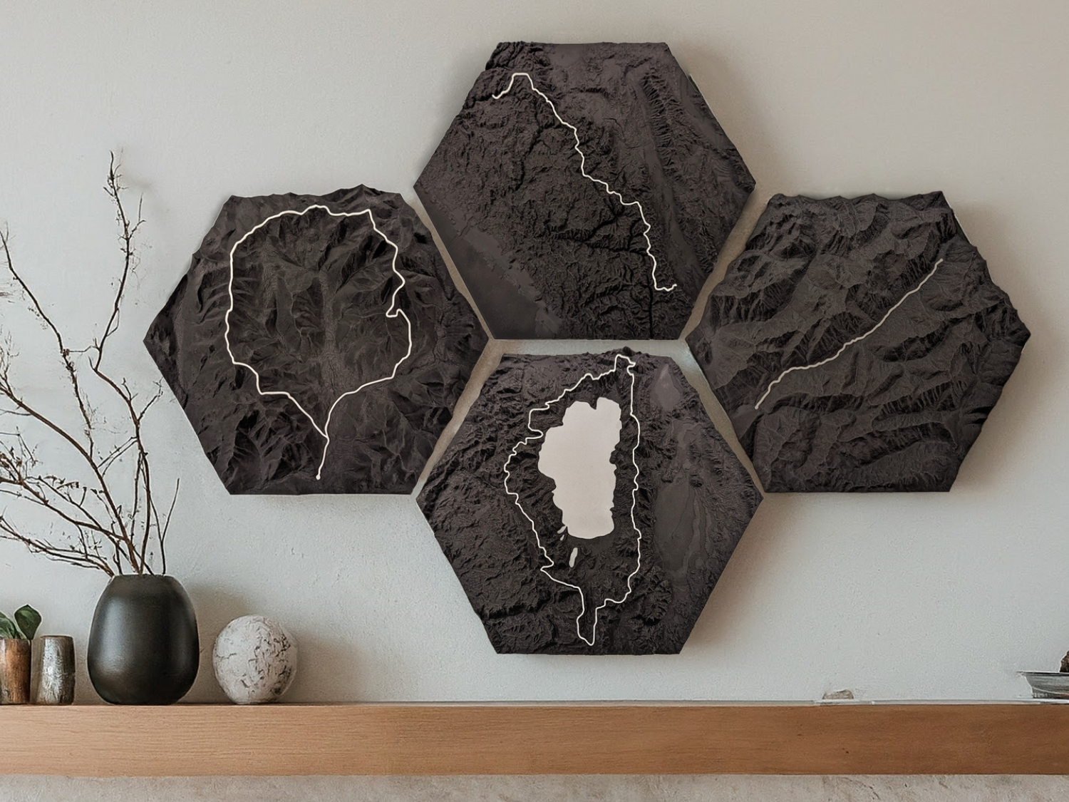
Skip to product information
1 of 5

Laugavegur & Fimmvorduhals Trail 3D Topographic Map Wall Art

Laugavegur & Fimmvorduhals Trail 3D Topographic Map Wall Art

1 total reviews

Regular price $69.99 USD
Regular price $100.00 USD Sale price $69.99 USD
Sale Sold out
  • Made in Boston, MA
  • Free 14 day returns
  • Free shipping in the USA

This 3D topographic trail map of the 49.4 mile (79.5 km) Laugavegur and Fimmvorduhals trail in Iceland includes markings for the huts in Landmannalaugar, Hrafntinnusker, Alftavatn, Hvangill, Emstrur, Thorsmork, and Skogar. The map is hexagon shaped and occupies a volume of 8.7 x 7.5 x 1 in (22.0 x 19.0 x 2.5 cm).

This map is made using multicolor 3D printing, where the terrain is printed in black and the trail is printed in white.

View full details

Minimalist wall art

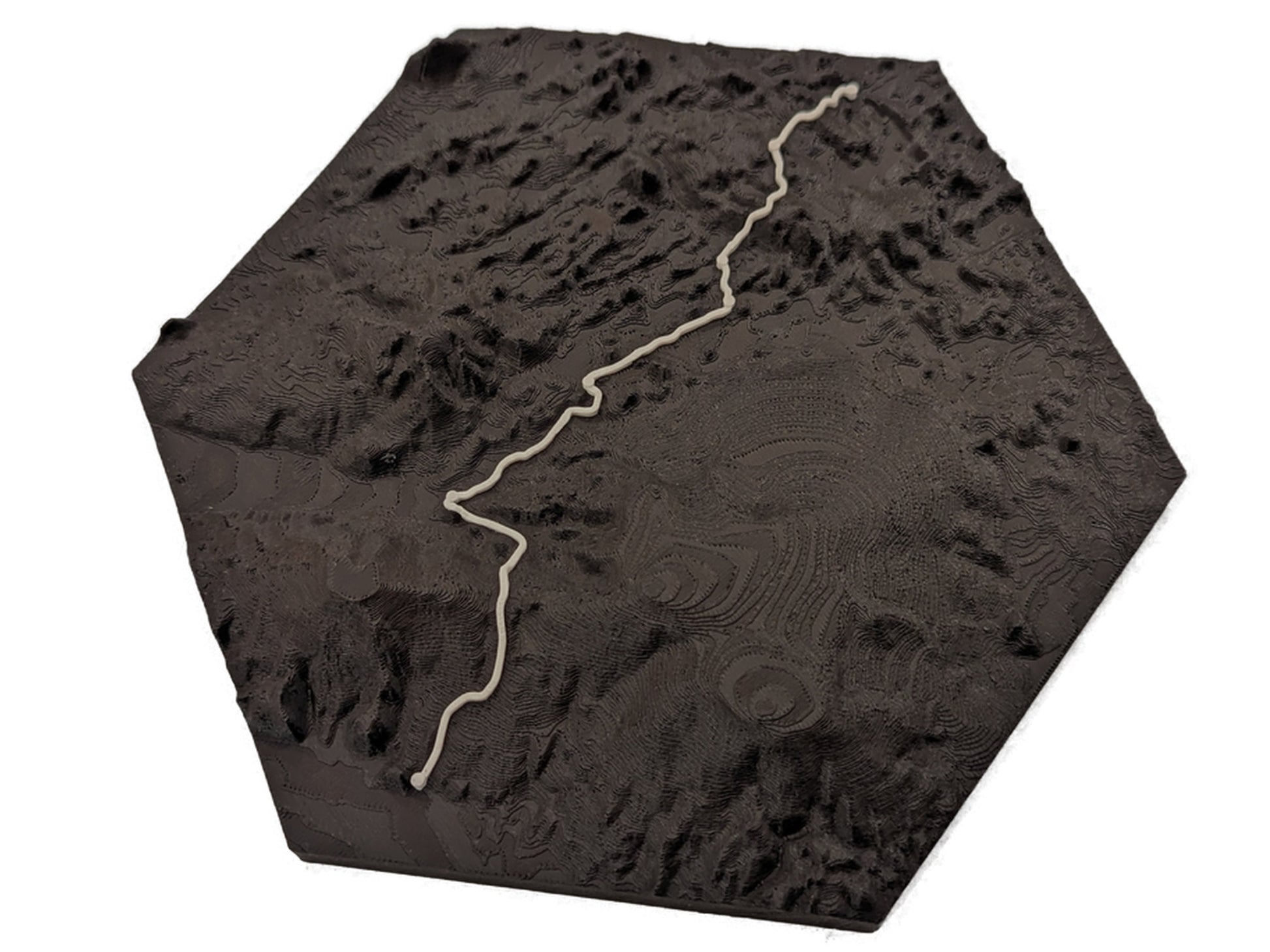
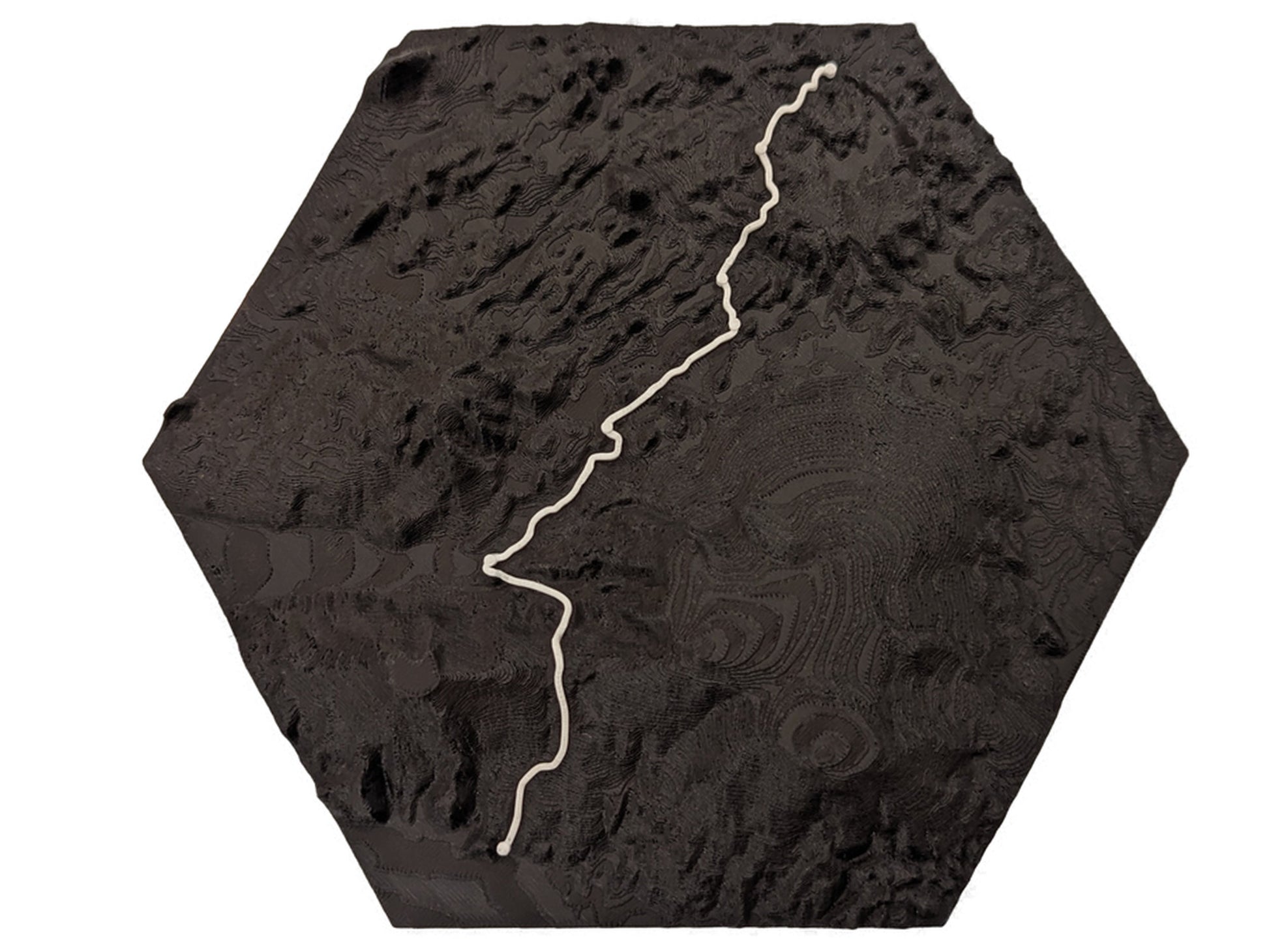
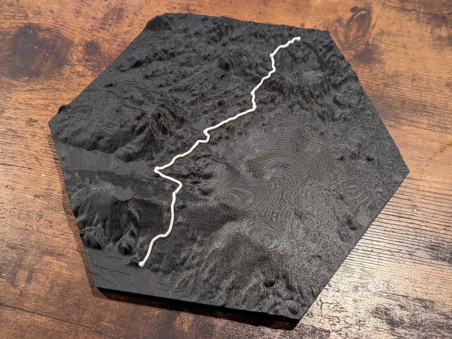
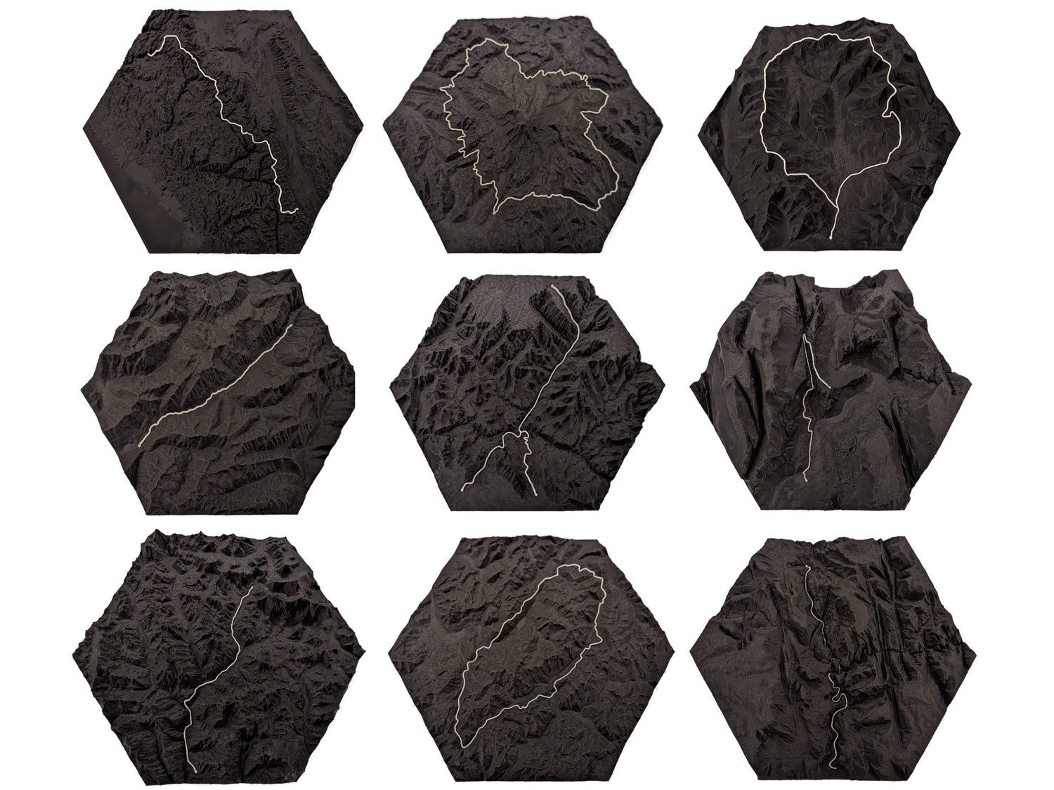
Enhance your space with our collection of minimalist 3D hexagon trail maps. Each map is a testament to the beauty of simplicity, featuring clean lines and a contemporary design that complements any decor style. The 3D effect adds depth and dimension to the maps, creating a visually striking focal point for any room.
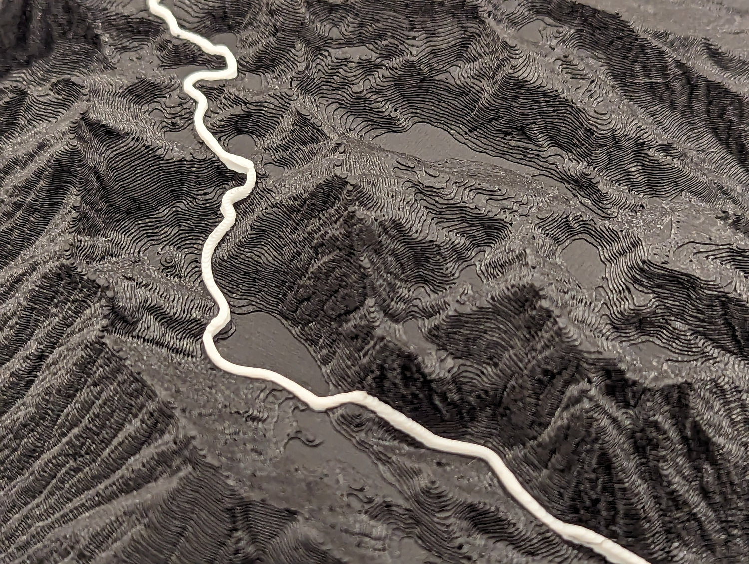
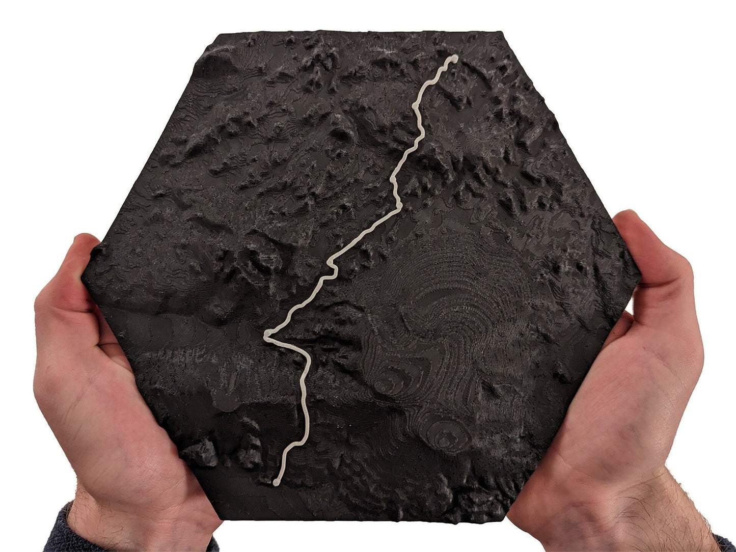
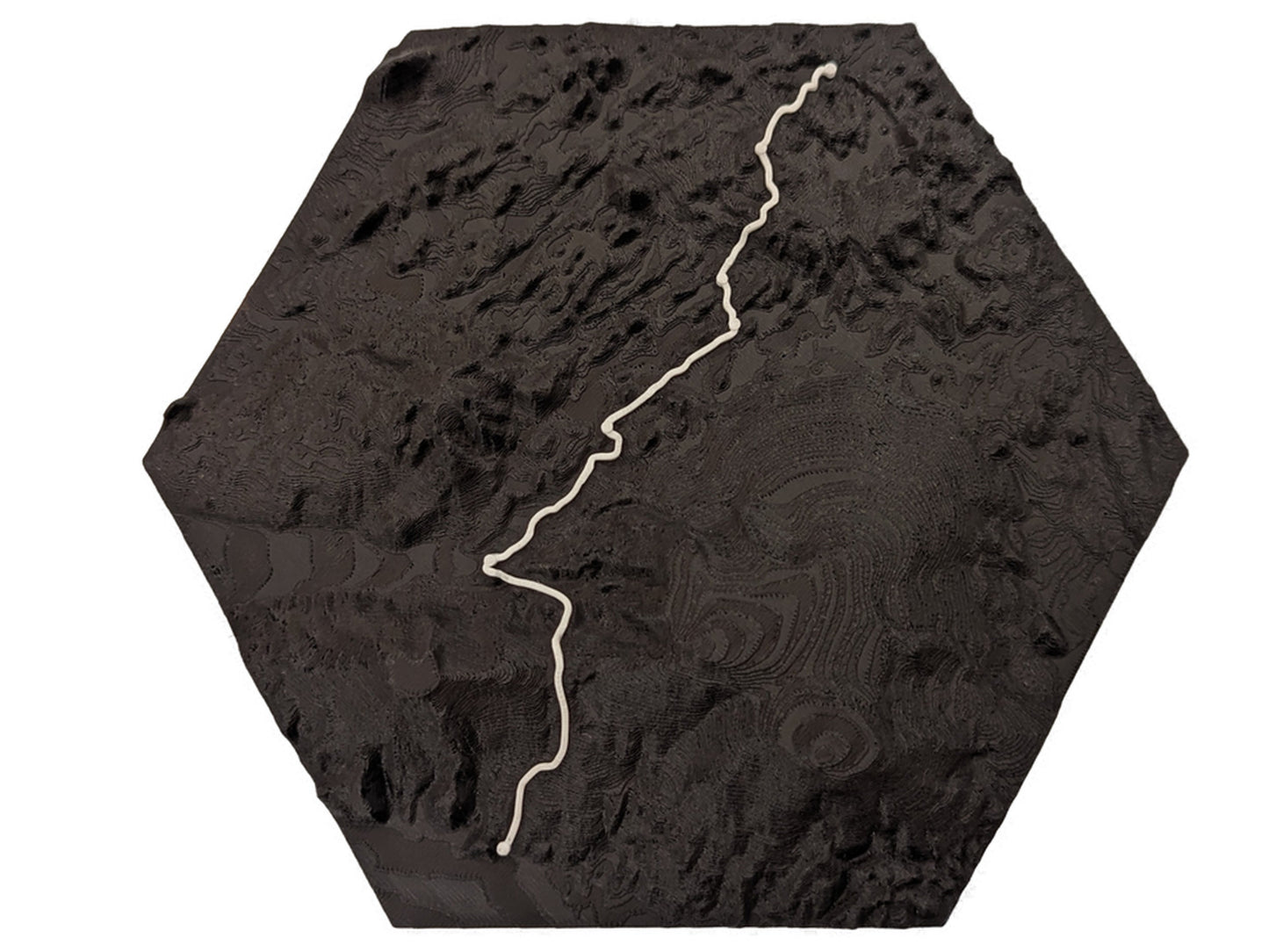
Hyper-detailed

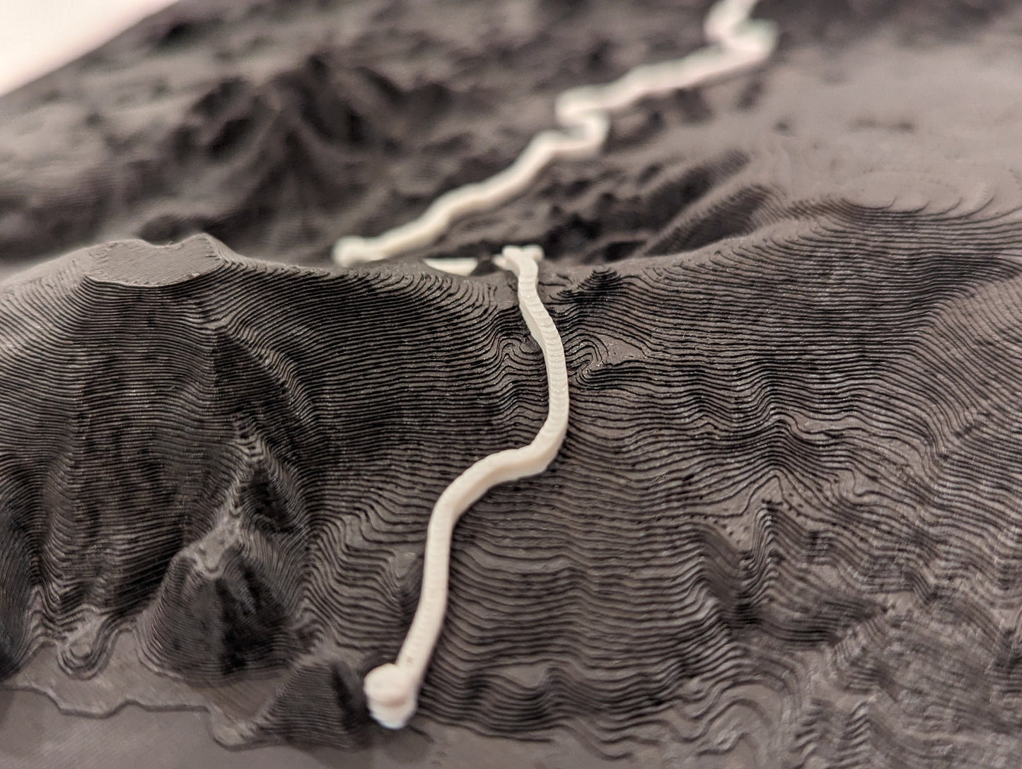
For smaller trails, terrain is reproduced at a resolution of 1 square meter. Every nuance, twist, and turn of the trail is meticulously captured in stunning detail, bringing the essence of the journey to life and inviting you to relive the unique beauty of each trail with a level of detail that exceeds expectations.

Custom maps

Looking for something specific? Explore our custom map offerings or get in touch with us. If you have a particular location or trail in mind, our custom map offerings may be just what you need. Let us bring your vision to life with a tailor-made, ultra-detailed map that not only complements your space but also tells your unique story of exploration and adventure.

Custom maps

Customer Reviews

Based on 1 review
100%
(1)
0%
(0)
0%
(0)
0%
(0)
0%
(0)
J
John Eisenhood
Just what we wanted

We just completed this hike in late June 2024. Trail was incredible and this was the perfect memento to remind us of the time we had. I spent a bit of time comparing it to a real topo map and the detail, relief, and trail route are accurate while remaining minimalist. We'll be browsing the site for other hikes we've done!!